
Truro Township Neighbors: Block Sources
Records about Truro Township neighbors answer different questions. The Franklin County Auditor connects a site address to a parcel and its current recorded owner. The Parcel Viewer shows which parcels touch or fall near the same block. The Recorder adds title parties, legal descriptions, plats, and recording dates. Election records have their own public-access rules, while historical maps and directories can place a household in an earlier period. None of these sources alone proves who occupies every nearby address.
| Source | What It Shows About a Block | Access |
|---|---|---|
| Auditor Address Search | Selected street parcels, parcel IDs, and the route to each property card | Free online search; wildcard results may be capped at 500 |
| Franklin County Parcel Viewer | Parcel boundaries, adjoining selections, road, label, and administrative layers | Public map; verify zoom and active layers |
| Franklin County Recorder | Title parties, legal descriptions, subdivisions, plats, and document dates | Official Records Search and office-counter route |
| Franklin County Board of Elections | Public voter-record access subject to statutory exclusions | Individual lookup and public-file route, not street browsing |
| RTHS and CML collections | Historical maps, directories, yearbooks, and local material | Repository, library, and appointment-based access |
On the same block, a recorded owner is a title fact. An owner mailing address is a tax-contact field. A site address identifies the parcel. Those fields can match, but they are not interchangeable, and they do not identify all residents, utility customers, or delivery recipients.
Buffer a Truro Township Parcel
The documented block method begins in the Franklin County Auditor Parcel Viewer. Locate the subject address, identify its parcel, then use Search Parcel Data and choose By Spatial. Enter a modest distance appropriate to the block, apply the buffer, select parcels entirely within or partly within it, and review the Results. A small distance is more useful than a broad map sweep because it keeps the selection tied to the immediate area.
Address → subject parcel → By Spatial buffer → nearby parcel IDs → individual property cards → recorded transfers. Open each result separately in Franklin County Auditor Property Search. That sequence gives nearby parcels and recorded owners. It does not produce an area household list.
Note: The Viewer can export selected results, but each parcel still needs individual review before a boundary or ownership connection is assumed.
Read Truro Township Neighbor Map Layers
Turn on Road Centerlines, Parcel Labels, and Administrative Areas before comparing nearby parcels. Road labels help keep the address on the correct segment; parcel labels support a link back to a property card; administrative layers can reveal why two nearby addresses use different municipal channels. In the Truro area, a parcel can be shown as Truro Township while also carrying Reynoldsburg City information. A mailing city alone does not settle the jurisdiction.
By Shape can select a visible portion of a block, and By Value offers layers such as subdivision or condominium name, annexations, and special tax districts. Those layers are map context. The legal description and recorded document are still the stronger way to connect a current parcel to an older plat or subdivision boundary.
Recorded Owners Are Not Truro Township Neighbors
Property cards commonly show a parcel ID, owner, owner mailing or contact address, site address, legal description, tax district, transfer information, and values. They are excellent for locating a recorded ownership interest. They cannot establish every person at the location. A remote mailing address can simply be where notices are sent, and an owner-occupancy or homestead field is a tax-administration clue rather than a household roster.
For a block that crosses a subdivision line, use the legal description and transfer history before assuming continuity. The Franklin County Recorder Official Records Search can then be used with party names, a subdivision, document type, number, date, or legal-description clues. Recorder title parties identify the people named in a document, not all residents at a parcel. It is not a guaranteed historic street-address index.
Truro Township Neighbor Voter Limits
Ohio voter-registration forms and the statewide database are public subject to the exclusions in ORC 3503.13. The statewide lookup requires a first name, last name, and county. Franklin County's own My Voter Record route also requires identifying information. Neither documented public screen is a general browse-by-street tool, so it should not be treated as a method for building an address-based block list.
The Franklin County My Voter Record page is an individual-confirmation route, as shown below. The Board of Elections also maintains Election Vault public files, but records must still exclude confidential information. Safe at Home protections and designated public-service-worker address redactions remain in force. A missing result does not establish that a person is not registered.
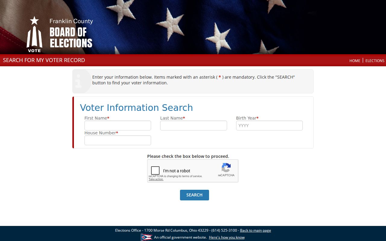
The required name-and-address information on the public route shows why it is a confirmation tool rather than a block browsing service.
Historic Truro Township Neighbor Clues
Current parcel boundaries are only one layer of a block's story. The Reynoldsburg-Truro Historical Society holds more than 300 genealogy binders along with plats, graveyard, township, and county maps, court records, letters, and yearbooks. Its museum and learning center at 1485 Jackson Street is open on the third Saturday and by tour or appointment. These materials are useful for an older street name, a map, or a local-family lead, not for a current household directory.
The Franklin County Genealogical & Historical Society's Truro cemetery publication listing is a related historical-source route. It documents an avenue for cemetery and local-history research rather than a current address search.
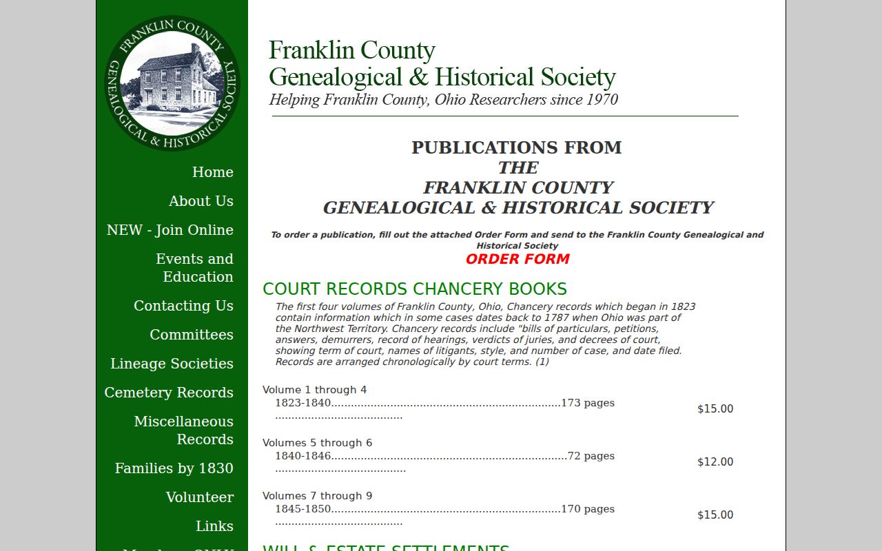
Historical cemetery and map material can help place a family or property in time, but it must not be used to claim a present connection.
Truro Township Neighbor Record Routes
No verified public neighborhood-association directory covering all Truro-area parcels was located. The documented community sources below are useful for civic contacts and local history, but neither is a current roster of people on the block. Direct inquiries should respect each organization’s privacy practices.
Reynoldsburg-Truro Historical Society
1485 Jackson St., Reynoldsburg. Third Saturday, 10 a.m.-2 p.m., and by tour or appointment. Phone 614-902-2831; email RTHSCourier@aol.com. It holds maps, binders, and local historical material, not a published current member directory.
Truro Township
Official township contact and records route. It publishes meeting and official-record pathways, but no umbrella neighborhood-association directory was verified. Confirm the parcel's jurisdiction before requesting a permit, code, cemetery, or road record.
Reynoldsburg Public Directory
Reynoldsburg's official directory lists municipal departments and a Mayor's Court entry. It is an institutional contact route only and not a roster of residents or association members.
Truro Township Block Record Requests
First determine whether the address lies in Reynoldsburg, Columbus, Brice, or unincorporated township territory. That decision controls the custodian for permit, code, development, or local court material. Truro Township does not publish a general searchable residential roll, permit database, or neighborhood directory. When a needed township record is not online, identify the address, approximate dates, record type, and the desired inspection or copy format.
The Ohio Public Records Act, ORC 149.43, permits inspection and copies from public offices, subject to statutory exceptions. A requester does not have to supply a name or purpose. An office may ask for clarification of an ambiguous request, and a written denial should state the legal basis. This is a focused records route, not a way to obtain information made confidential by other law.
The official Ohio Public Records Act source appears below. For an address question, a narrow request to the correct custodian is more useful than a request for all information about a block.
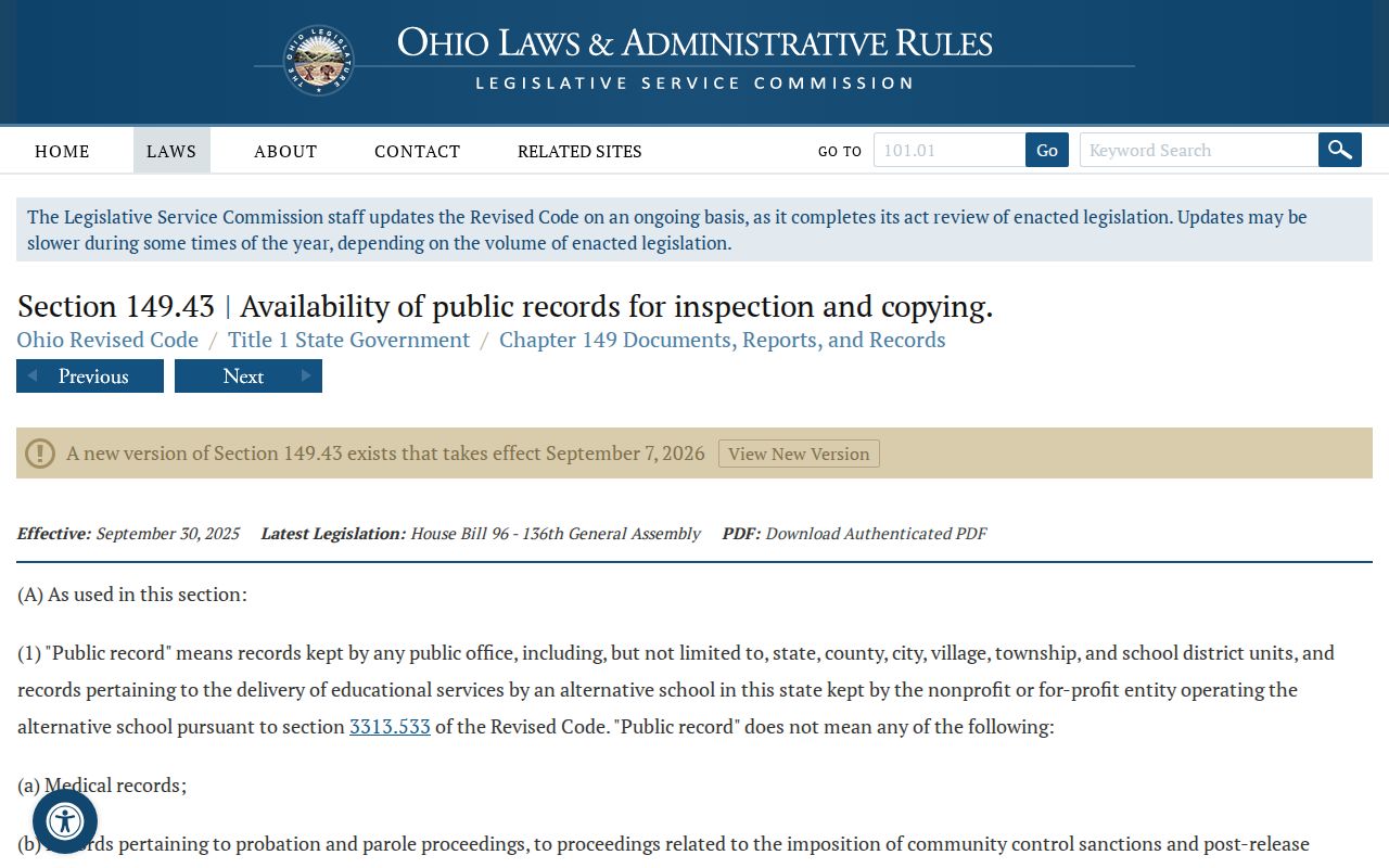
The statute requires prompt inspection and copies within a reasonable period, but it does not replace a privacy rule or identify the correct local custodian.
Map Truro Township Parcels and Owners
Use the parcel buffer only to establish which properties surround the chosen location. Then open each property card and capture the parcel ID, site address, legal description, current recorded owner, and recent transfer clue. A property line may follow a subdivision, easement, or tax-district boundary rather than the everyday sense of a block. Compare map layers with the legal description before deciding that two lots belong in the same record trail.
- Locate the subject address in the Parcel Viewer and identify its parcel.
- Use By Spatial and a modest buffer to return nearby parcel IDs.
- Open each property card and keep the site address, recorded owner, tax-contact address, and legal description distinct.
- Use a transfer clue or legal description in the Recorder search when the question involves a recorded document.
- For a whole named street rather than the immediate block, use the fuller Truro Township Streets record chain.
A parcel is a defined piece of land. A legal description is the formal land description used in recorded documents. Those terms connect the map to title records more reliably than a street label alone.
Truro Township Neighbor Sources Compared
Official records and commercial lookup tools serve different purposes. A commercial category may combine public and other data, but its labels, update cycle, and source path may not be visible. Official sources are narrower, yet they identify a custodian, a record type, and a way to inspect the source. Start with the official source that answers the specific place-based question.
| Category | Useful For | Key Limit |
|---|---|---|
| Official parcel and Recorder records | Recorded ownership, parcel boundaries, transfers, legal descriptions, and plats | Recorded owner or party is not a complete household list |
| Official voter-record channels | Individual registration confirmation within documented rules | No general street browsing; confidential information is excluded |
| Library and historical repositories | Past directory, map, yearbook, and local-history context | Historical entries do not establish a current connection |
| Commercial neighbor tools | A possible starting lead when independently checked | Source path, freshness, and label accuracy can be unclear |
Privacy Limits for Truro Township Neighbors
Public access has limits. Ohio Safe at Home participants have protected records under ORC 111.41-111.47, and ORC 111.44 removes protected voter information from public voter-record versions. ORC 3503.13 also excludes key voter identifiers and contact fields. Certain public service workers may seek residential-address protection under ORC 149.45. Motor-vehicle information is restricted by federal law. A nonmatch or missing field is not evidence that a person is absent from the area.
Lawful use. Truro Township neighbor research is for personal, lawful purposes such as understanding a property or local history. It must never be used to watch, harass, threaten, or intimidate another person. Ohio law addresses menacing by stalking and telecommunications harassment.
Note: Confirm a record with the office that holds it, and ask the custodian about a correction when an official fact appears wrong.