
Truro Township ZIP Code Coverage
Truro Township is a Franklin County subdivision, not one postal city. Its official office and cemetery mailing, plus a reviewed Auditor sample, support 43068 as the strongest documented Truro-area ZIP. Columbus labels can occur around annexed or edge geography. Brice is a local possibility that needs address-level confirmation. The coverage table keeps these distinctions visible rather than presenting a ZIP as a legal boundary or a complete resident list.
| ZIP | Areas covered | Postal label | Record-search notes |
|---|---|---|---|
| 43068 | Strongly documented Truro-area postal identity | Reynoldsburg standard ZIP | Township office, cemetery mailing, and an Auditor Truro sample use it; confirm the exact address with USPS. |
| 43109 | Possible Truro-area locality reference | Brice PO Box / locality label | Exact delivery coverage was not verified. Check a subject address in USPS before stating it receives this ZIP. |
| 43213 | Columbus-annexed or edge geography may carry this label | Columbus standard ZIP | Use the Auditor city, township, and parcel fields with USPS. ZIP does not equal municipal boundary. |
| 43232 | Another Columbus postal-boundary possibility | Columbus standard ZIP | Verify the specific address; do not choose a permit custodian from the ZIP alone. |
The listed ZIPs describe postal and research cautions, not a promise that every point in a township or city label receives the same delivery designation. The Truro Township ZIP code directory is an address-verification aid, not a boundary map.
Truro Township Postal Identity
The official township office uses a Reynoldsburg mailing label, while large historic parts of Truro Township have been annexed to Reynoldsburg and Columbus. Brice and unincorporated pieces also matter. Franklin County's Blacklick-Madison Area Plan identifies unincorporated Truro territory south of Refugee Road. A postal city is therefore a delivery convention, not a substitute for checking the parcel's City/Village, Township, tax district, and legal description.
Silent Home Cemetery's official township page is one local source associated with the 43068 mailing identity.
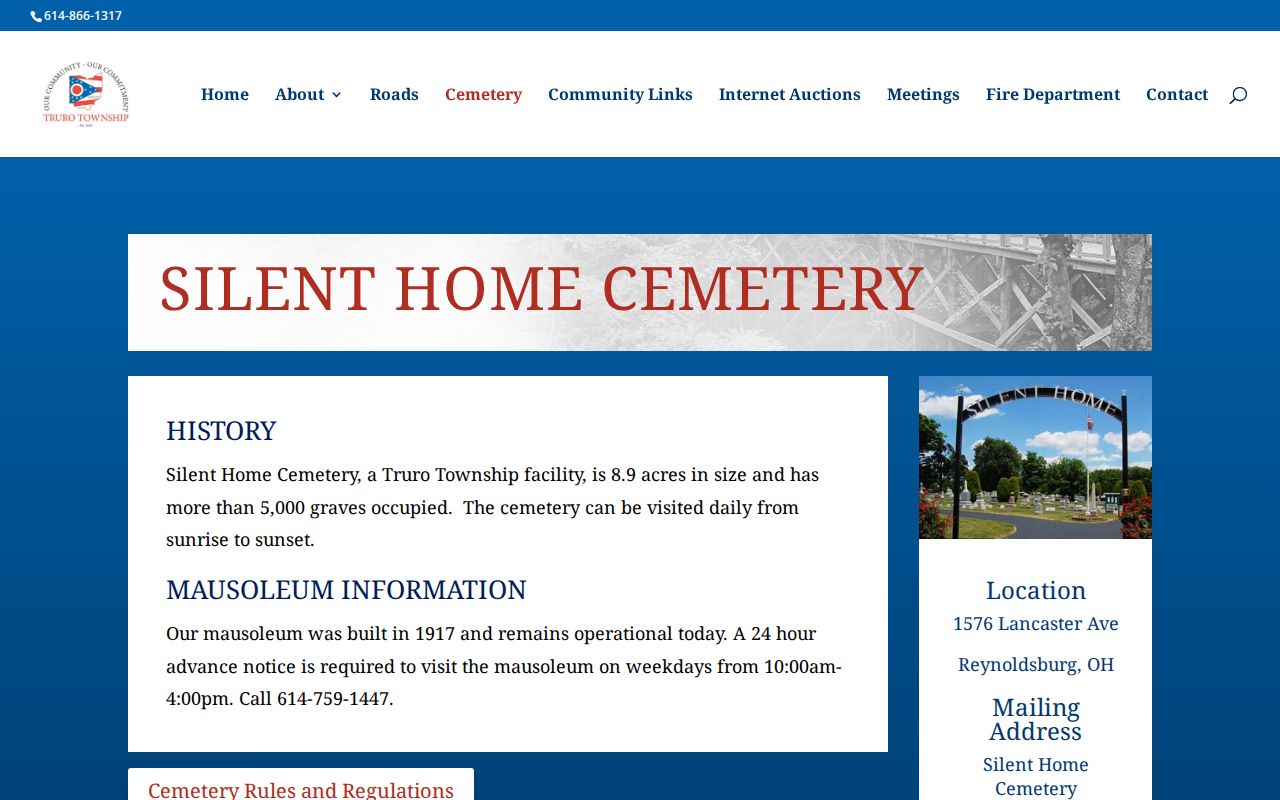
The cemetery is a historical township recordkeeping resource, but it has no verified online name search. A township or cemetery inquiry is the documented fallback for a burial or lot-ledger question.
The Census Bureau's 2020 county-subdivision table identifies Truro Township as GEOID 3904977714, with 30,401 people and 12,457 dwelling units. Those figures describe a geographic subdivision, not the number of people who can be found through a ZIP code or public index. They are useful only as a reminder that the township's records geography is larger and more varied than one mailing label. Address-level parcel and postal checks remain necessary.
Verify Truro Township ZIP Codes
Use USPS to standardize a complete delivery address before treating a ZIP as a search clue. Postal confirmation comes before a county property search, because the property system has its own labels for site, owner contact, tax-bill mailing, and legal description. USPS also warns that a result does not confirm that a person or company is at the address. It verifies delivery addressing, not residency or jurisdiction.
USPS ZIP Code Lookup is the delivery-standardization tool reflected in this Truro Township ZIP code directory.
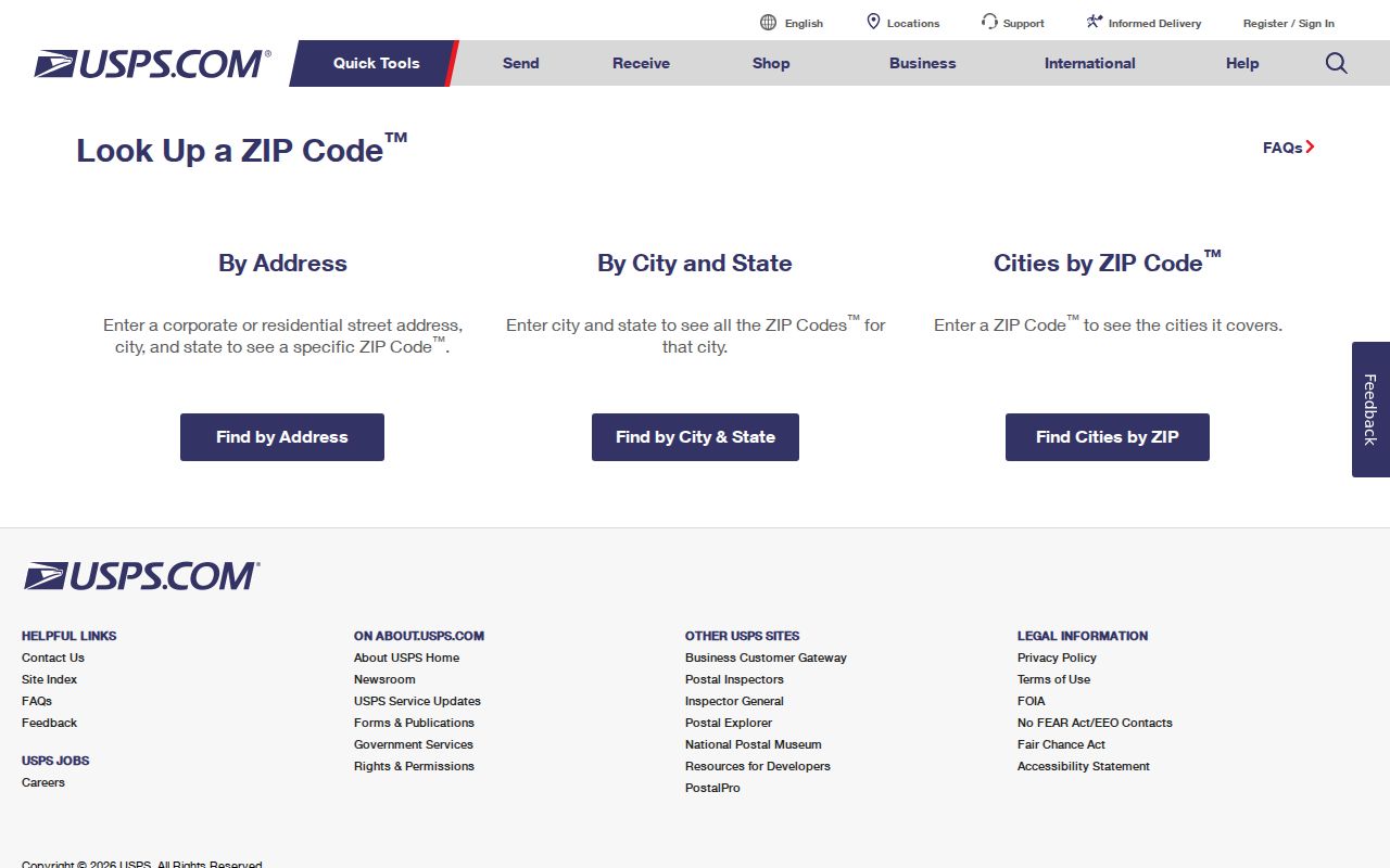
Record the returned postal form, then use the complete physical address to locate the county parcel and verify the jurisdiction that actually holds the record.
| USPS address field | Requirement | Use in a ZIP check |
|---|---|---|
| Company | Optional | May be entered when the delivery address includes it; it does not confirm a person. |
| Street Address | Required | The physical delivery address used for ZIP confirmation. |
| Apt/Suite | Optional | Adds delivery precision where applicable. |
| City | Required in address mode | Supplies the postal locality for the query. |
| State | Required in address mode | Select Ohio for a Truro-area address. |
| ZIP | Required or supplied to verify a full address | Tests the delivery ZIP alongside the address information. |
Use ZIP Codes to Narrow Records
No verified primary local property search accepts a ZIP as its main field. The Auditor property details display ZIP, but the reviewed public interface supports Owner Name, Address, Parcel ID, Subdivision & Condo, Advanced, Map, and Intersection modes instead. The Franklin BOE individual lookup uses identifying fields rather than a ZIP browse. That means a ZIP code is a way to verify and narrow an address, not a reliable stand-alone route to a local person record.
- Enter the complete physical address into USPS and retain the returned ZIP and postal formatting.
- Search the Auditor by address and compare the returned Site Address, Township, City/Village, and ZIP fields.
- Use the parcel ID and legal description to locate recorded-document or permit custodian paths when needed.
- For one individual, use the Ohio voter form only with its required identity and county fields, never as a ZIP-wide browser.
- After a ZIP narrows an area, move to the Truro Township streets reference for the property-card, map, and recorder sequence.
The Auditor's sales and reporting tools may organize some material by ZIP, but a current public ZIP-wide property filter was not verified. Do not infer a filter or a complete ZIP roster from that gap. The Treasurer search is also a selected-parcel route, with Name, Street Address, or Parcel ID search fields, rather than evidence of a broad ZIP directory. A ZIP-wide request should name the specific public record and date range, acknowledge statutory exclusions, and go to the office that actually keeps the record.
For a property question, the useful handoff is address to parcel, not ZIP to person. The Auditor can then show current owner of record, owner mailing contact, site or property address, legal description, City/Village, Township, tax district, ZIP, and transfer data. Those fields explain why the Truro Township ZIP code directory is only one piece of a local record search. The Recorder uses the legal description, parties, document clues, and dates for its land-record search. Its results should be read as recorded transactions, not as confirmation that a named party now receives mail at the parcel.
Truro Township ZIP Code Limits
A ZIP code cannot tell you which local office has a permit, code file, Mayor's Court matter, or historical record. The controlling issue is the parcel's municipal and township context at the relevant date. For a Reynoldsburg-limit property, the city Building Department is the route for its documented permit categories. For an unincorporated Truro parcel, Franklin County Building and Planning is the route. A Columbus postal label does not settle that question.
The same caution applies to a name-and-ZIP result. A postal association is not proof of a residence, ownership interest, or current connection to a particular Truro Township address. It also cannot resolve whether a historical record uses a rural, city, township, or postal wording from its own date.
Truro Township Annexation Trails
Reynoldsburg's official annexation table records annexations from Truro beginning in 1954. A present ZIP or city field should not be projected backward onto a deed, directory, permit, or map. A family may have stayed in the broader area while its address appeared under a different township or municipal label. Historic interpretation requires the source date, a contemporary map or plat, and the parcel's legal-description path.
The Reynoldsburg municipal directory supplies the official city contact path after parcel context shows that a record is likely held by Reynoldsburg.
Use municipal contacts for a focused record question only after the county property fields support the city jurisdiction. Franklin County property detail can show Township and City/Village together, a local pattern that may place TRURO TWP and REYNOLDSBURG CITY on one card. That combination is why a ZIP code directory cannot assign legal custody by itself. A dated parcel record is the better decision point for a permit, code, or municipal records request.
Truro Township Historic Street Continuity
Postal geography is only one reason older address research can fail. CML's street and reverse directory material begins in 1911. Local historical sources flag several name-continuity traps: part of Rodebaugh Road east of Waggoner was once Stewart Road, and Livingston Avenue becomes Slate Ridge Boulevard at Five Points. Check the old name against a map or plat before treating the changed label as evidence that an address moved.
Historic maps add a sturdier land context. The Ohio History Connection 1842 Franklin County wall-map sheet for Truro includes landowner labels, while Library of Congress cadastral maps extend the sequence. A map label identifies historic mapped land ownership, not every resident or present delivery address. CML's city-directory shelf begins in 1841, but its digitized material is noncontinuous. Compare the relevant printed year with a reverse-directory volume, parcel sheet, or Recorder legal-description trail, and expect an older rural or township address to use a form unlike its current postal address.
Truro Township ZIP Code Boundaries
Keep delivery terminology separate from property and municipal terminology. A ZIP code serves mail movement. A ZIP+4 narrows delivery sorting further. Neither replaces a parcel number, legal description, township field, or city jurisdiction. In Truro Township, that separation matters because postal labels can cross the township's historic and annexed geography. When a record contains only a historic locality or a street name, use a map, directory year, or parcel clue before assuming its modern ZIP.
- ZIP code
- A Postal Service delivery-routing code. It is not a municipal boundary or a parcel identifier.
- ZIP+4
- An added four digits used to sort mail more precisely within a ZIP code.
- PO Box ZIP
- A postal designation connected to box service or a locality label; it does not establish residential delivery coverage without address verification.
- Unique ZIP
- A ZIP assigned for a specific organization or delivery arrangement, not a general definition of a neighborhood.
- Carrier route
- A mail-delivery sequence used inside a postal area. It is not a public resident directory.
Note: ZIP boundaries help validate mail delivery, while parcel fields identify the legal and records context.