
Search Truro Township Streets by Address
Use the Franklin County Auditor address mode for the lead address, then carry each confirmed parcel into the next record system. A detailed street-directory sequence has five parts: find the site address, open the property card, retain its parcel ID and legal description, read its transfer information, and use those exact clues in the Recorder index. This avoids the common error of treating a street name as a deed-search key when older records are organized by parties, subdivision, instrument, or legal description.
For a long street, search a manageable address or block segment first. The card identifies the parcel and its jurisdiction fields. Check the parcel in the Auditor Parcel Viewer and turn on road, parcel-label, and administrative layers. When a recorded owner or transfer is relevant, use the Recorder to search the party or legal-description trail. The individual voter form is not a street-browser, and a current parcel owner is not automatically the occupant of the site.
- Enter the physical street address in the Auditor search and confirm the returned site address rather than a tax mailing field.
- Record the parcel ID, owner of record, subdivision or legal description, transfer date, and instrument clue from the property card.
- Use Parcel Viewer to inspect boundaries, road centerlines, parcel labels, and the relevant township or municipal area.
- Search the Recorder with the current owner, prior grantor or grantee, subdivision, legal description, document clue, and an appropriate recorded-date range.
- For a past household, compare the printed address with the CML reverse or street-arranged directory volumes, then test it against a map and a dated property record.
The Auditor address search is the first visual stop in the Truro Township street directory chain.
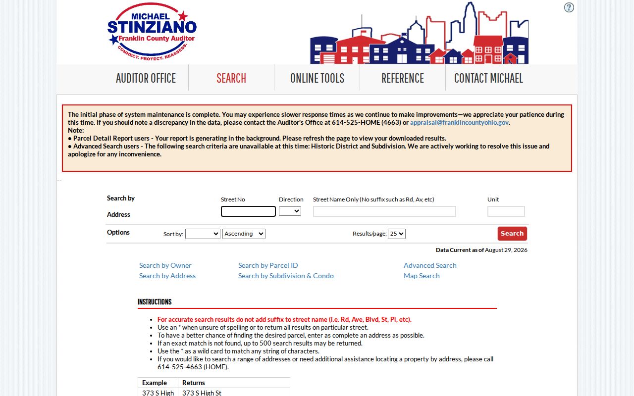
The returned parcel card supplies the durable identifiers needed to move from an address to land records without guessing at a historical street label.
Truro Township Auditor Search Fields
The official Address mode separates the parts of an address rather than relying on one unstructured line. Enter the street name without its suffix, such as St., Rd., or Ave. The Auditor allows a wildcard for a street run, but a nonexact search can return no more than 500 rows. That cap is a practical reason to narrow by number, direction, or a shorter name pattern. Use current live maintenance notices before relying on Advanced Search options.
| Auditor field | Input type | Street use | Research caution |
|---|---|---|---|
| Street No. | Text | Narrows a query to one address or block segment. | Use the physical site number, not a mailing number. |
| Direction | Dropdown | Separates directional street names where applicable. | Do not assume a direction from an abbreviated historic source. |
| Street Name | Text | Search the name without a suffix; wildcard can help with a run. | Nonexact output is capped at 500 results. |
| Unit | Text | Narrows a multiunit or building address where carried. | A missing unit does not prove no unit exists. |
| Parcel ID | Text | Connects property search, map research, and recorder work. | Enter all or part without dashes; wildcards are allowed. |
Owner Name, Map Search, and Intersection Search are useful alternative routes when a street number is uncertain. An owner name can match any position in the owner list, so compare the resulting parcel rather than accepting the first name match.
Truro Township Parcel Viewer Bounds
The Parcel Viewer turns a street name into a spatial check. Identify can open property information for an individual parcel. Layer List can show Road Centerlines, Parcel Labels, and Administrative Areas. For a street segment, Search Parcel Data offers By Shape, By Value, By Spatial, and Results. By Spatial starts with a selected parcel, accepts a distance, applies a buffer, and selects parcels entirely within or partly within it. Results can be carried back to individual property cards.
This is a parcel-selection method, not a list of residents. The Truro Township street directory uses it where a road crosses an annexation boundary or a subdivision edge. Read the site address and legal description from each selected card before interpreting adjacency or continuity. Map labels give useful orientation, but the legal description remains the stronger bridge to a recorded plat or deed.
By Shape can draw a visible area for a limited street portion. By Value exposes layers such as parcel ID, subdivision or condominium name, annexations, and special tax districts. Those layers give a street query local context before a researcher opens an individual card. The Viewer has GIS help at 614-525-7272 and GIS@franklincountyohio.gov. Exported Results are best treated as a working list of parcels to inspect, because their owners, tax status, and recorded documents remain parcel-specific.
Note: Nearby parcel selection shows spatial relationships, not every person connected to an address.
Truro Township Address Field Meanings
Several address labels may appear for one parcel. The Site or Property Address identifies the physical parcel. Owner Mailing or Contact Address identifies where the Auditor sends owner correspondence. The Treasurer can display a tax-bill mailing address, which is another delivery field. The legal description identifies land through a subdivision, lot, block, or other land description. These fields should never be used interchangeably in the street directory.
The Franklin County Treasurer property search is the tax-bill and payment route for a selected parcel.
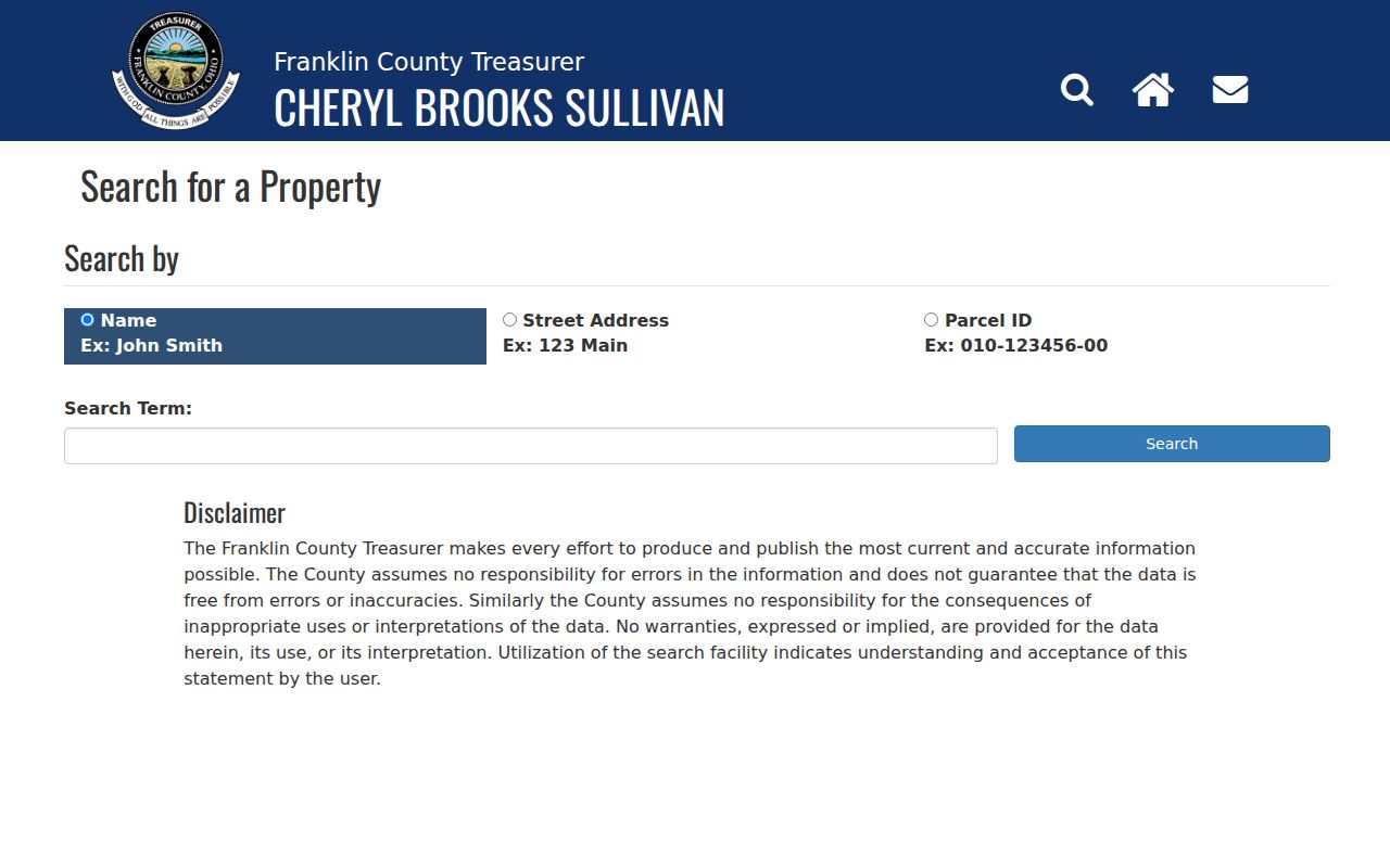
Use tax information as parcel context. It may identify billing or payment details, but it is not a resident roster and does not establish who occupies the site.
- Parcel
- The county identifier for a specific property, used to join its card, map position, and related land records.
- Situs address
- The physical location of the parcel. It differs from an owner or tax mailing address.
- Plat
- A recorded map that lays out a subdivision, lots, streets, or other property divisions.
- Criss-cross directory
- An address-arranged directory that can provide a published-year occupant lead.
Truro Township Recorder Legal Descriptions
The Recorder Official Records Search works best after the property card supplies a legal clue. Its Quick Search accepts a Search Term for grantor, grantee, subdivision, document type, or document number, plus a recorded-date range. A user chooses Search Index Only or Search Index & Full Text OCR. The latter searches phrase-style document contents; it does not turn the Recorder into a universal street-address index.
The Recorder public-search guide shows the formal route from a land-record clue to the official index.
Record each party role, document date, number or book reference, document type, and legal description. The Truro Township street directory treats that trail as title evidence, not an occupancy list. Search a prior seller as a grantee in an earlier range only when the legal-description and party trail remains consistent.
Truro Township Permit Custody
Permit and code records depend on the actual jurisdiction. Truro Township states that it does not provide zoning services or issue building permits. A parcel inside Reynoldsburg limits uses the city Building Department for building, electrical, heating, plumbing, sign, sidewalk, flood-hazard, and code-violation matters. An unincorporated Truro parcel uses Franklin County Building and Planning. Identify the City/Village and Township fields on the parcel before choosing a custodian.
The Franklin County SmartGov Public Portal is the County public access route for an unincorporated-area permit question.
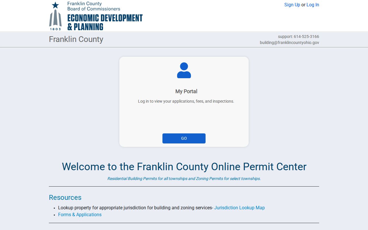
A permit can date a project and identify the applicant, agent, owner, or inspection material stated in that record. It cannot establish a list of everyone at the address.
Truro Township Street Directory Sources
Address-keyed records have different keepers and different limits. The street directory is strongest when each source is asked only for its documented role. Use the property card to find the parcel, the Viewer to examine location and boundaries, the Recorder for title parties and land descriptions, the Treasurer for selected-parcel tax context, and the relevant city or county office for a specific permit or code file.
| Address source | Keeper | What it can show | Access channel |
|---|---|---|---|
| Property card | Franklin County Auditor | Owner of record, site, legal/parcel details, values, transfer clues | Property Search, counter, API |
| Parcel map | Auditor GIS | Boundaries, road and administrative layers, nearby selections | Parcel Viewer |
| Recorded documents | Franklin County Recorder | Parties, dates, document numbers, legal descriptions, plats | Official index, archive route, counter |
| Tax route | Franklin County Treasurer | Selected-parcel billing, payment, and tax status | Treasurer search or office |
| Permit or code file | Reynoldsburg or Franklin County | Project, permit, inspection, or case material when held | Portal or targeted request |
The Ohio voter lookup does not offer a general street browse. Use it only for the documented individual confirmation workflow and respect Safe at Home and other statutory redactions.
Truro Township Street Name Continuity
Historical street work requires a map and name check before records are joined. The Reynoldsburg-Truro Historical Society identifies continuity examples: part of Rodebaugh Road east of Waggoner was once Stewart Road, and Livingston Avenue has historical sections and becomes Slate Ridge Boulevard at Five Points. These are local cues to test, not a claim that every old address changed in the same way.
Annexation adds another layer. Reynoldsburg annexations from Truro began in official tables by 1954. A directory, permit, or title record can therefore use a township, rural, Columbus, or Reynoldsburg label for the same broader area at different times. Compare the source date, map or plat, and legal description before treating a spelling difference as a move. The Ohio History Connection 1842 Franklin County wall-map sheet for Truro and later 1856 and 1895 cadastral maps can supply historic road and landowner context. A name printed there is a mapped landowner reference, not confirmation of a current or historic household.
Truro Township Reverse Directory Trails
CML's House History guidance says its Main Library holds Columbus city directories back to 1841, but street-address or reverse access begins in 1911. The 1917–18 and 1929–30 Dreher's Simplex guides, plus the 1926 street-name-arranged phone book, are the strongest documented address-to-occupant sources for the area. They give a published-year household lead, which should be checked against adjacent volumes and property evidence.
The CML House History guide explains the local sequence from deeds and directories to maps and library collections.
For a historic occupant trail, keep the directory year visible in your notes and compare it with a property transfer, Census schedule, or map rather than reading it as a current record. CML's digitized collection is noncontinuous, so a missing online year can be a digitization gap rather than a household change. The Main Library's Local History & Genealogy shelves, consultation help, and related newspaper or obituary indexes offer the next documented channel when a street sequence has a gap.
Truro Township Street Directory Limits
Parcel and Recorder systems do not publish a full list of household members, utility customers, delivery information, or DMV addresses. A recorded owner can be different from the occupant. A tax mailing field can be different from the site. Historic directories record a publisher's year-specific occupant information and can omit rural households. The absence of a result can stem from a name variant, an unindexed era, an address change, a different jurisdiction, or lawful confidentiality. Homestead and owner-occupancy fields are tax-administration details only. They do not identify each person who uses a property as a home.
Ohio Safe at Home records, protected-service-worker address redactions, sealed files, and other protected data remain protected. If a specific city, township, or county record is not online, use a narrow ORC 149.43 request without trying to bypass those limits. State the address, approximate date range, record category, and requested inspection or copy format so the custodian can identify the correct file without an overbroad street request.